Geospatial Artificial Intelligence International Short Course
Numerous education initiatives in the world were formed to promote international cooperation and academic exchange between universities as well as attract students and staff worldwide. This focus on international student education provides high-quality programs in various fields of study and prepares students for future careers anywhere in the world.
Studying, for instance, in Asia or Europe represents a wide range of opportunities to see the world and interact with other students from different countries. Different study options and backgrounds allow students to learn during their study weeks. Online programs help you get an international education without having to leave home.
Geo-AI Research and Innovation Lab Binus University collaborates with Brawijaya University, Karlsuhe University, and UiTM University to create a series of short courses that aim to increase the knowledge of the participants in geospatial and artificial intelligence for 5 days. Through this event, we hope that in the future the participants will be able to provide solutions to the problems around them by applying GIS technology.


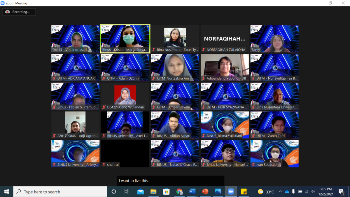
On the first day, on Thursday, 2 December 2021, there were two sessions and 2 speakers. The first speaker was Mrs. Vini Indriasari from Bina Nusantara University. Mrs. Vini Indriasari presented material on Spatio-Temporal design thinking using GIS and GIS Introduction. While the second speaker was Miss Nadira from ESRI Indonesia. Miss Nadira explained about Get Started with Modern GIS and an introduction to ArcGIS Online.


On the second day, on Friday 3 December 2021, there were also two speakers. They are Miss Nadira from ESRI Indonesia and Dr. Fabian Surya Pramudya from Bina Nusantara University. Miss Nadira explained the material which was a continuation of the first day regarding the introduction of ArcGIS Online. While Dr. Fabian explained about spatial data resources. On this second day, participants are expected to be able to create a simple project using a simple data set and then process it in ArcGIS online.


And on the third day of the short course, December 4, 2021, this activity has two speakers, namely the first speaker, Dr. Adipandang Y, from Brawijaya University, and Dr. Nabilah Naharudin from UiTM Malaysia. Dr. Adipandang explained about spatial analysis in ArcGIS Online and DR. Nabilah explained about MCDA. MCDA is Decision making in real life always involves multiple criteria, there are several factors we need to consider before we decide which decision we must take.


And on the 4th day, on December 6, 2021, the GeoAI short course also had two speakers, namely Dr. Ernieza Suhana Binti Mokhtar from UiTM Malaysia and Miss Nadira from ESRI Indonesia. Dr. Ernieza Suhana Binti Mokhtar presented data visualization while Miss Nadira presented telling your story with story maps. This material about story maps is one of the main materials, which will later be used to build a system that will be competed in the Hackathon.


And on the last day of the Geo-AI short course activity which was held on December 7, 2021, the activity contained sharing from several researchers and lecturers at various universities. The researchers were 2 researchers from UITM, namely Dr. Izrahayu & Dr. Suzanah, then from Brawijaya University, Dr. Adipandang there, one lecturer from Karlsruhe University, Mr Christian, and from ESRI India Miss Prathvi & Dr. Alok (IIRS).


Each researcher presented an example of applying GeoAI to problems around us. With the presentation of each researcher, it is hoped that participants can have ideas and ideas for implementing GeoAI in accordance with the knowledge that has been obtained during this short course.


